Description
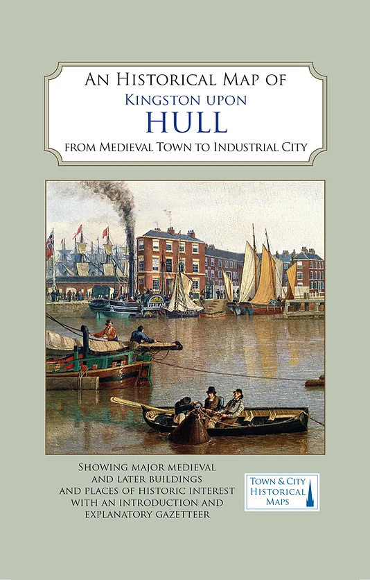
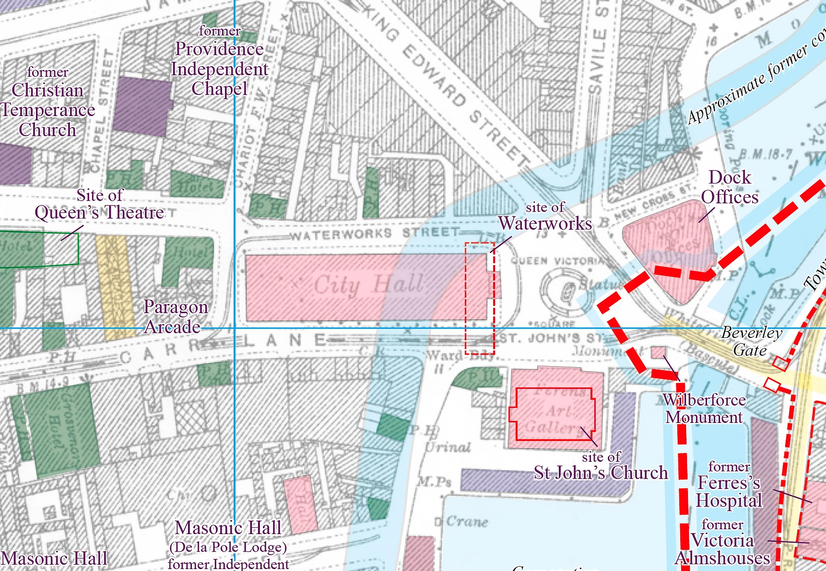
Centred around the Old Town of Hull on its island, the map also shows the city’s older docks, and the nineteenth-century town that developed to the west of Prince’s Dock. It also charts the amazing provision of railway tracks that shaped its topographic development.
The reverse of the map carries a comprehensive gazetteer of the city, listing all the most important sites of historic interest with a brief history of each of them and many illustrations.
The map’s cover has an introduction to the history of the city, written by Dr David Atkinson of the University of Hull. The map’s authors are Drs David and Susan Neave (authors of the Pevsner Architectural Guide to Hull) and D.E. Evans, former City Archaeologist.
Published in association with the University of Hull, the project was made possible by a generous grant from the Marc Fitch Fund.
On September 6th 2017, the map was awarded a ‘Commended’ prize in the annual Stanfords Award for Printed Mapping competition run by the British Cartographic Society.
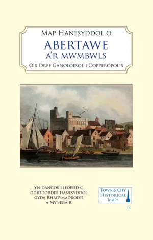
Folded sheet map in card cover.

Reviews
There are no reviews yet.