Description
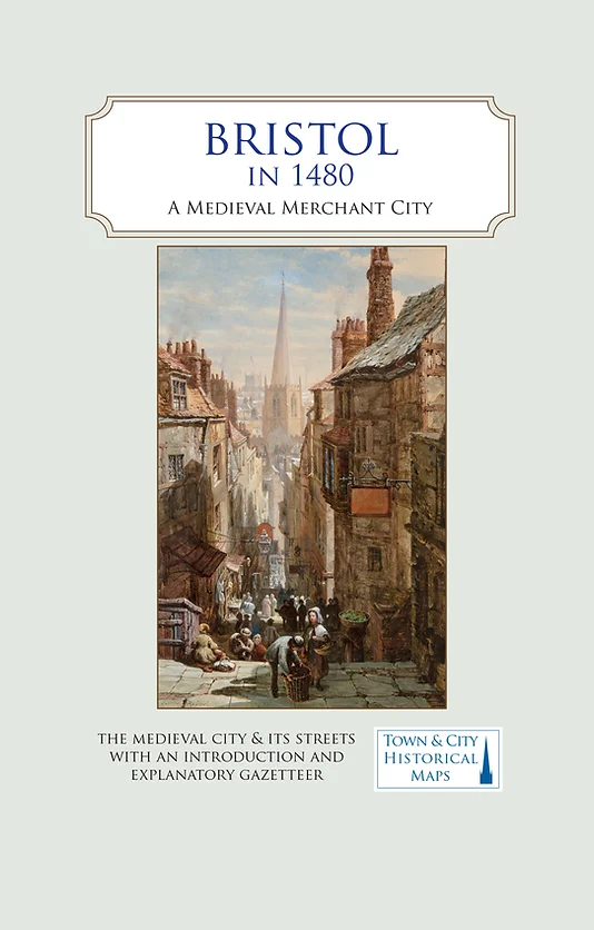
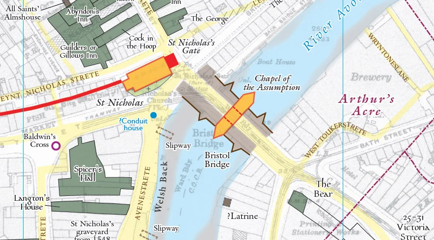
The map carries an inset showing the trades and occupations of Bristol in 1480
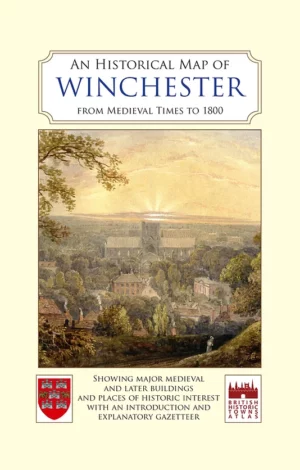
Printed in full colour, the map includes a descriptive gazetteer of Bristol’s medieval buildings and streets. Informative and educational, it will be a major contribution to understanding Bristol’s long and important history. Folded sheet map in card cover.
Published in association with the University of Bristol.
Published Date: December 2020.

Reviews
There are no reviews yet.