Description
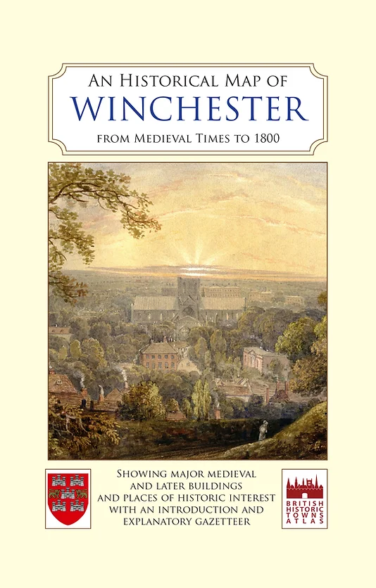
The map also carries a brief history of Winchester written by Professor Martin Biddle, (joint editor and author of the British Historic Towns Atlas Volume VI on Winchester), and a comprehensive illustrated gazetteer explaining the development and stories of the most important buildings and sites shown on the map.
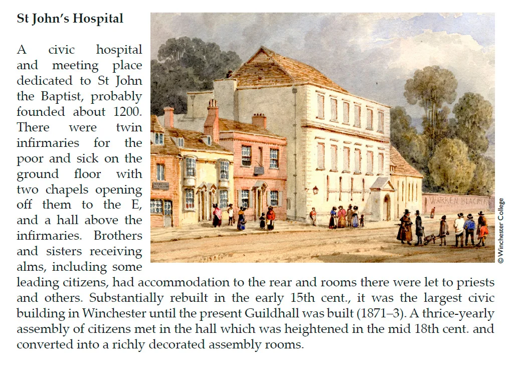
Illustrated with watercolours and photographs of Winchester from the 19th century, many never published before, this is a fascinating publication for all interested in the history of one of England’s most attractive cities.
The map is a substantially updated and revised version of a map first published by Old House Books in 2012. Published in association with Winchester Excavations Committee.
Published Date: October 2016.
Folded sheet map in card cover.

Reviews
There are no reviews yet.