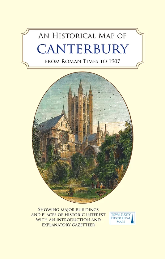
Historical Map of Canterbury

£9.99

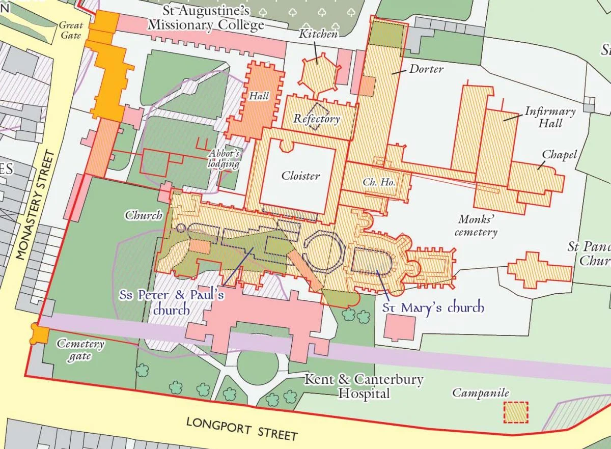
The historical map uses a digitised OS map of 1907 to form the background – a time when Canterbury was home to a huge military presence and yet Kent’s orchards came well into the city boundary.

The reverse of the map has a gazetteer of Canterbury’s many historic buildings and sites, and maps showing the Roman settlement at three phases of its existence, as well as illustrations of the old city. Folded sheet map in card cover.

In stock

SKU: canterbury Category:

Description

The map has been produced in collaboration with Canterbury Archaeological Trust (CAT) under the editorship of Dr Jake Weekes. Since CAT published a historical map of Roman and Medieval Canterbury in 1990, archaeological and historical research has revealed much more about the city and its development. As a result, there is much more information available that benefits from being shown on the new map. Published Date: March 2021.

Additional information

Weight 0.124 kg
Dimensions 22.7 × 13.4 × 0.8 cm
Series

9

Reviews

There are no reviews yet.

Be the first to review “Historical Map of Canterbury”

Your email address will not be published. Required fields are marked *