Description
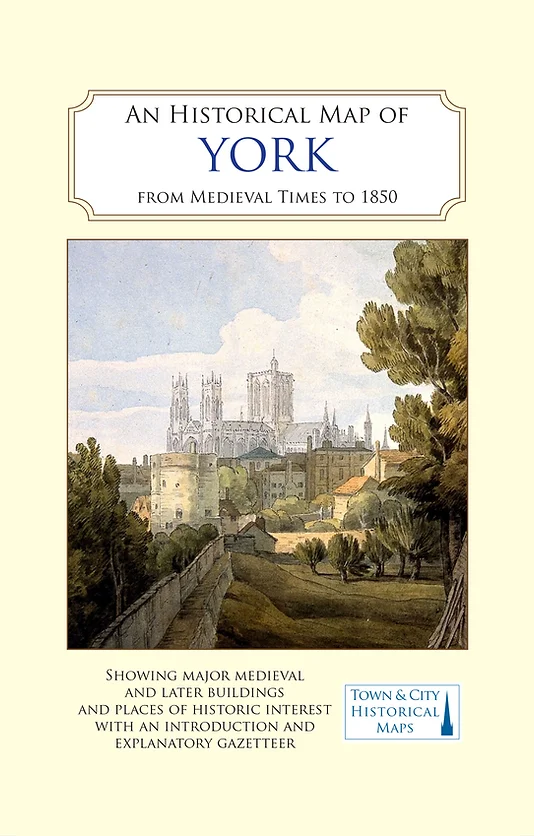
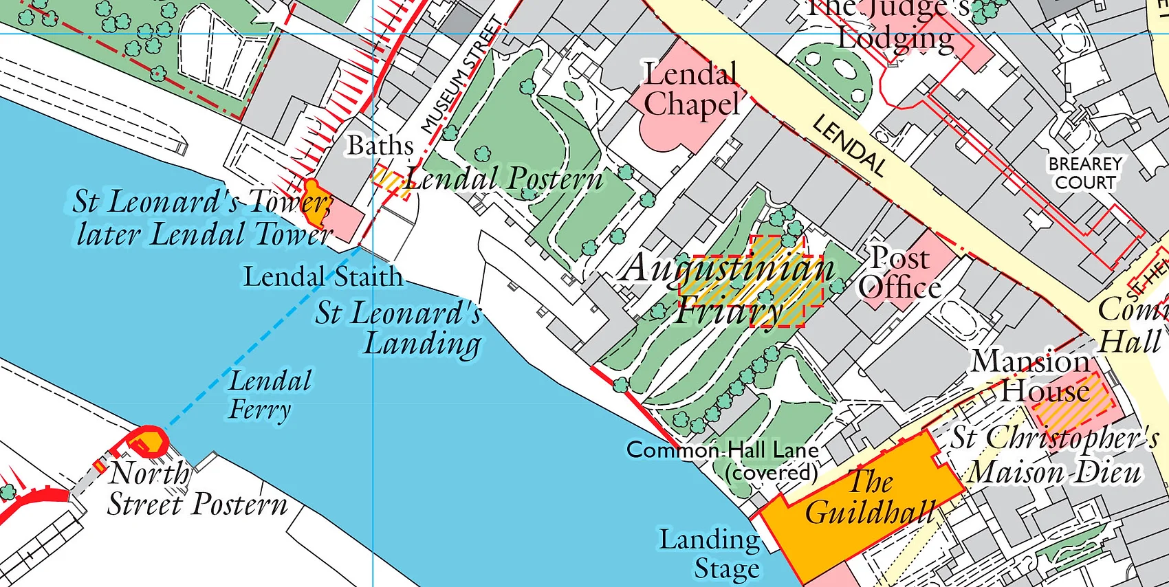
All of York’s best-known buildings are shown — the Minster, St Mary’s Abbey, York Castle (shown as the debtors’ prison!), the city walls and bars or city gates, the city’s only river bridge over the Ouse with chapel and prison on it — as well as the many churches which served the city.
The map also carries a brief history of the city (written by Dr Peter Addyman, former Director of York Archaeological Trust) and a comprehensive gazetteer explaining the development and stories of the most important buildings, streets and sites shown on the map, as well as listing all the city’s churches.
Its first edition (published by Old House Books) won the Stanford’s Award for Printed Mapping of the British Cartographic Society 2014. It also took the British Cartographic Society Award 2014 which is the BCS’s ‘Best in Show’ prize.
Published in association with York Archaeological Trust
Folded sheet map in card cover.
Reviews
There are no reviews yet.